Having trouble keeping track of latest Hurricane Matthew path changes or figuring out if you're in an evacuation zone? Check out our app and website recommendations for tracking storms, prepping for emergencies and alerting loved ones, here.
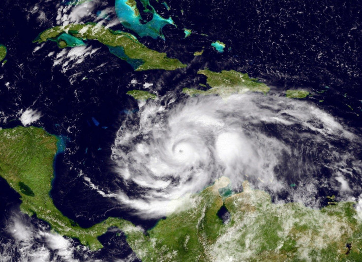
Hurricane Matthew is picking up force as Thursday morning the storm was upgraded to a Category 4. Expected to make landfall in Florida Friday morning, Governor Rick Scott urged residents in evacuation zones to leave the area as soon as possible.
"This storm will kill you," said Scott said at a news conference Thursday morning. "Time's running out. Leave. There's no excuses."
But what if you don't know if you're in an evacuation zone? Or, what if you want to find out how the storm is affecting people you love? What’s the best way to track Hurricane Matthew’s path, keep abreast of which areas are being told to evacuate and find out if loved ones are safe?
To help you keep up to date on all things Hurricane Matthew, we’ve put together a list of apps and websites that will help you track the storm’s path, evacuation zones and routes, effects of the storm on your area and ways to keep in touch with loved ones while the hurricane remains active.
Best Hurricane Matthew Path And Evacuation Zone Tracker Apps
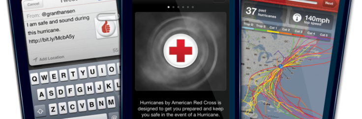
"Hurricane" by the American Red Cross
This app is probably the easiest and most straight forward app for tracking Hurricane Matthew’s path as well as any other natural disasters that may affect a given area. The app allows you to set up areas you want to keep an eye on so you can track a storm’s effects on more than just your specific location. You can set up the types of alerts you’d like to receive and there is a way to send messages to loved ones to let them know what the current weather conditions are where you live and let them know you are ok.
There is also an excellent Hurricane tracking map right inside the app that’s quite easy to use. The app includes tons of information on how to create and use an emergency plan. The app is free and available for both iOS and Android users in the Apple App and Google Play store.
This app offers every day weather reports for your local area, but also includes many video updates on storm conditions, maps and storm trackers as well. It is free and available on both iOS and Android devices.
“Storm” by Weather Underground
This app is great for very specific information about storm conditions in your area. It has a number of alert types you can set up and gives detailed analyses, up-to-date advisories, video clips and storm tracking maps for users can easily access. The app is free and available to both
Best Hurricane Matthew Path And Evacuation Zone Tracker Websites
In addition to apps, there are tons of websites you can access with accurate and up-to-date Hurricane Matthew path trackers as well as maps of evacuation zones and other storm related updates. Here are a few that we found useful:
Together Against The Weather – This site has downloadable evacuation route information as well as a way to check for evacuation zones by zip code.
Live Tracker – shows Hurricane Matthew’s current position and future possible path.
American Red Cross – check for open shelters near you or loved ones.
National Hurricane Center – all things Hurricane Matthew
Hurricane Central Twitter – tweets latest hurricane coordinates