If visiting Kruger National Park is on your bucket list, you can now get a preview of the African game reserve courtesy of Google Street View. The mapping team at Google have posted panoramic images of the 7,500-square-mile South African park.
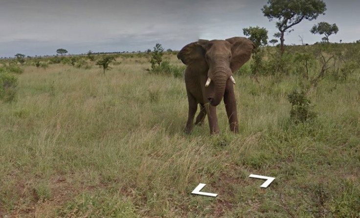
“Visiting Kruger National Park in Google Maps, you can see some of its majestic creatures as if you were there in real life,” wrote Street View’s Sven Tresp on Google’s LatLong blog. “Catch a glimpse of a rhinoceros grazing the plains, an elephant enjoying a grassy snack, and a herd of buffalo charging against the wind. You may even spot a leopard, who often remain elusive to tourists and locals alike.”
Google Street View first stepped into South Africa in 2010 and over the past six years, they have been collecting iconic images from various nooks in the African country. Destinations in addition to Kruger National Park include Table Mountain, the Cape of Good Hope and even the beaches of Cape Town. The overall experience has been dubbed “The Mzansi Experience.”
“This South African Street View tour is just a taste of these vast plains,” wrote Tresp. “We hope that visiting South Africa with Google Maps (available on iOS and Android) will inspire a deeper appreciation for the country, its wildlife and show the beauty of the African continent. Whether you continue your journey in Google Maps or in person, we invite you to enjoy the views and landscapes of the Rainbow Nation.”
Kruger National Park is just one of many exclusive virtual tours offered by Google. Other global destinations include the top of Mount Fuji, the Liwa Desert, the Great Barrier Reef, ziplining through the Amazonian rainforest and a virtual safari of Kenya’s Samburu National Reserve.